
Community
Amber Snow Warning Issued
Areas above around 500 FT are most at risk of seeing significant accumulations of snow (5-10cm)
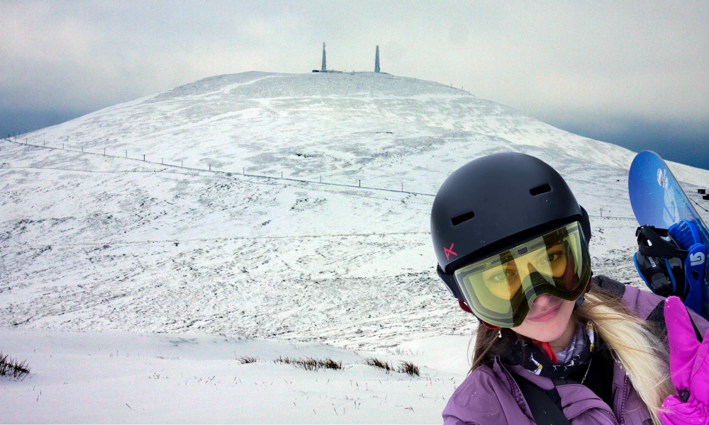
The Met Office has issued an Amber weather warning for tomorrow with deep snow drifts possible for higher ground on the west of the island.
An area of rain, sleet and snow is expected to affect the island from late morning on Thursday before tending to peter out later in the evening.
In addition, strong to gale force easterly winds will develop with gusts up to 50-55mph possible.
Areas above around 500 FT are most at risk of seeing significant accumulations of snow (5-10cm) with a small risk of 15-20cm above 1000 FT. Given the strength of the wind significant blowing snow is possible leading to deep drifts in places, more especially towards the west of the island.
Rain or sleet is expected for low-level coastal areas with only temporary slushy accumulations possible depending on the intensity of the precipitation. This more likely for western areas such as Peel.
Slightly milder air later in the evening and overnight into Friday will lift the snow level with only rain or sleet for lower-levels.


50 Years, Three Generations And Thousands of Windows

Josh Secures £300k Backing For Gaming Venture

Review: ‘Easily Tom Holland’s Best Outing As Spider-Man’

New Hotel Plan for Peel
