
Breaking
Red Weather Warning!
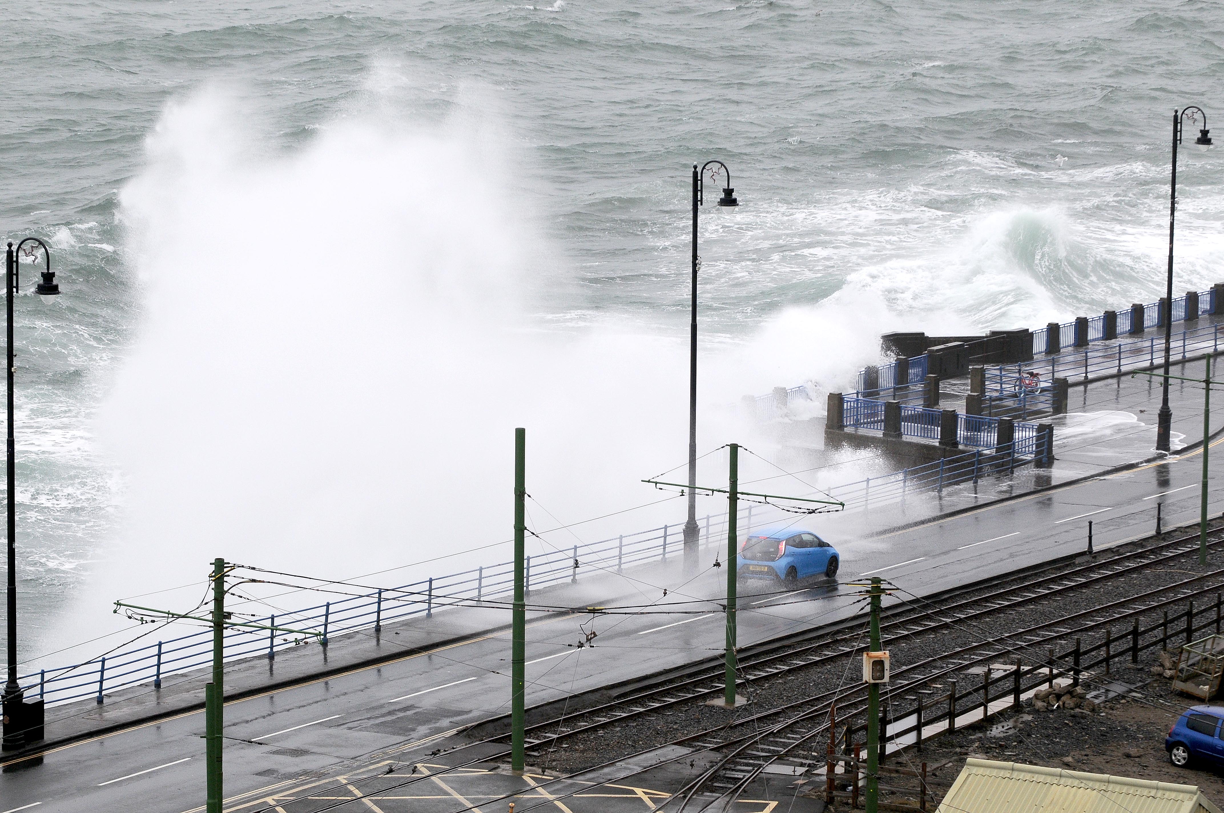
The Met Office has issued a red coastal overtopping warning for Tuesday afternoon, something we hardly ever see on the Isle of Man, with a mix of severe gales and a high tide expected to cause some serious splashing along the south and east.
The warning runs from 1pm to 4pm on Tuesday, December 9, lining up almost perfectly with the 2.30pm high tide.
Forecasters say strong south to south-southwesterly winds will ramp up to severe gale force, throwing big volumes of water and debris over exposed spots.
The worst-hit areas are expected to be Castletown promenades, Shore Road in Rushen, and the northern end of Douglas Promenade.
Ramsey and Laxey promenades will also get a battering, just not quite as intense, more of a yellow-to-amber situation.
There’s also a yellow warning for severe gales, with winds staying wild through the afternoon and into the evening. After all the rain we’ve already had, the ground is saturated, so falling trees, surface water and travel disruption are all possibilities.
An advisory has also been issued for inner harbour flooding, with levels sitting just below the yellow threshold, but a big surge and the high tide could still cause some issues. Forecasters will reassess after this afternoon’s tide.
This all comes on top of a 10-hour amber warning for heavy rain overnight, running from midnight to 10am tomorrow, meaning the island’s in for a very wet and very windy 24 hours.
In short: keep off the promenades, stay safe, and when you’re heading out tomorrow morning… good luck.


