
Weather
More Wintry Showers To Come
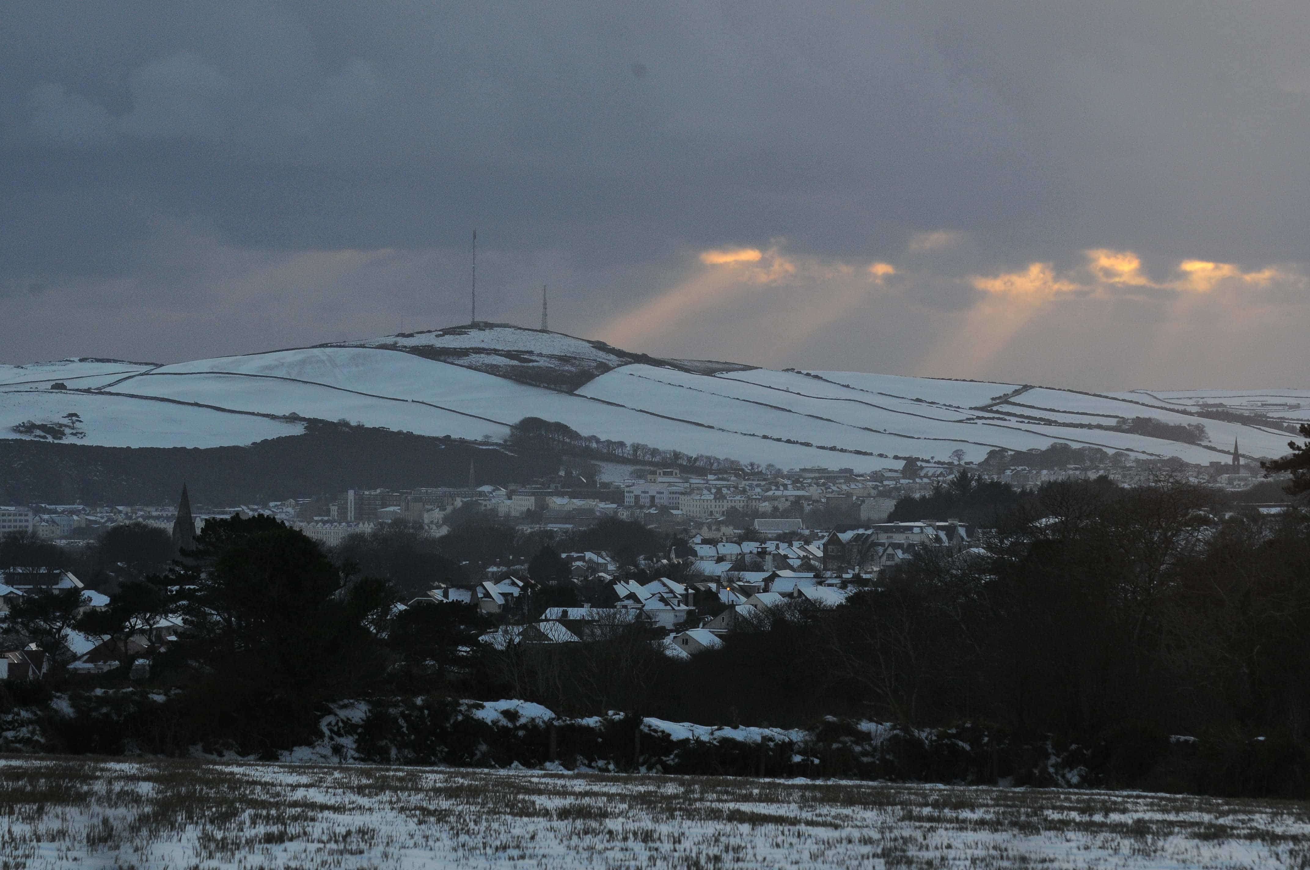
If you thought the weather drama was over, think again.
Ronaldsway Met Office has dropped another yellow weather warning – this time for wintry showers and ice.
The warning kicks off at midday today (Monday, January 6) and sticks around until midday tomorrow (Tuesday, January 7).
It’s a full-island affair, but the hills are set to bear the brunt of it (because why wouldn’t they?).
This fresh warning follows a weekend of weather alerts, including an amber warning for snow that had us all on edge until nothing appeared.
School children across the island could be heard complaining this morning while eating their breakfast. It was all too good to be true.
That disappointing amber drama was downgraded to yellow on Sunday afternoon when the snow gods decided to chill a little at lower levels.
Still, the weekend wasn’t completely uneventful.
Some snow dusted the island’s higher roads on Saturday, causing minor disruptions and plenty of photos of cars looking like they’d rolled through a light frosting.
But now we’re back to serious weather business, with the Met Office telling us to prepare for a mixed bag of rain, sleet, snow, and hail over the next 24 hours.
For those living the high life (literally), the hills above 500ft are in for 1–7cm of snow and hail, with the added bonus of icy patches.
Lower down, we’re looking at small accumulations – potentially some hail coverings overnight.
Thankfully, road temperatures should mostly stay above zero, unless you’re in one of those unlucky spots where the snow decides to settle.
So, what’s the takeaway? If you’re heading out, channel your inner mountain goat if you’re going uphill, and keep your wits about you wherever you are.
We’ll be keeping an eye on the skies—and probably the Ronaldsway updates, too.


