
Community
Rolling Storm Updates
Sailings and flights cancelled.
Rolling updates of the latest goings on for today’s stormy weather.
Don’t Travel
The gov is advising islanders not to travel between 8pm and midnight as Storm Isha strengthens from gale to storm force with gusts of up to 80mph expected.
An amber weather warning is in place, meaning there is likely to be travel disruption, damage to property and the risk of injury.
Severe gale force south to southwest winds will create large waves, leading to coastal overtopping at high tide around 8.20pm. This will see moderate overtopping of waves and a risk of significant debris around some exposed coastal roads and promenades. Areas affected include Shore Road (Rushen), Castletown Promenade, the northern end of Douglas Promenade, and to a lesser extent Laxey and Ramsey promenades.
Anyone who needs to report a risk to public safety should dial 999.
To report non-emergency road issues, Highway Services can be contacted on 672000.
Heavy rain is also expected for short periods, meaning a slight risk of localised flooding.
Roads
At this time, the current road(s) are at least partially blocked:
Port Jack is closed from Derby Castle to Port Jack Chippy.
Buses
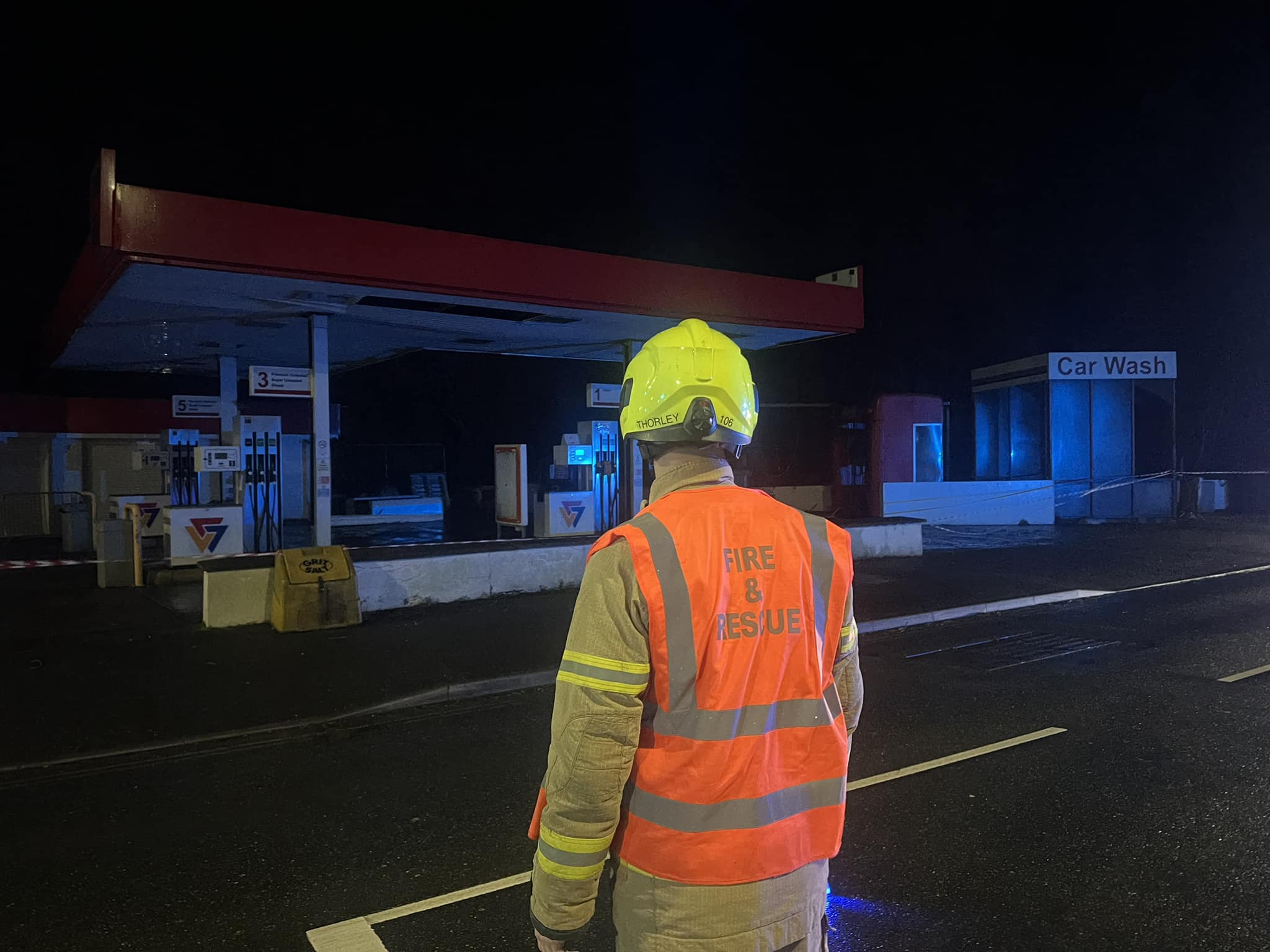
 Crews cordoned off the area and gave advice to the owners.
Manx Utilities: ‘We have teams out across the Island ready to make repairs wherever they are needed. But if you come across any trees on Overhead Lines or damaged poles please contact us on 687687 and stay clear of them. We will be there as soon as we can.’
Travel
Manxman has headed out to sea to seek shelter and flights in and out of Ronaldsway are facing disruption as the island is hit by strong winds and rain.
As wind speeds are exceeding current safe limits for Douglas Harbour, Manxman has gone to shelter over near Morecambe Bay.
All of today’s sailings are cancelled and sailings up until Wednesday are at risk of possible disruption.
Check out the Manxman webcam here.
At Ronaldsway, all remaining flights are cancelled.
Warnings
There are two amber weather warnings in place.
Overtopping – 6.30pm to 10.30pm
Severe gale force south to southwest winds will create large waves, leading to coastal overtopping around the time of high tide this evening (~8:20pm), with moderate overtopping of waves and a risk of significant debris around some exposed coastal roads and promenades.
Winds – through until 2am tomorrow
The current gale to severe gale force winds will increase further this evening, especially after about 2000 hours, with a spell between about 9pm and midnight where winds reach storm force in places. During this period gusts of between 70 and 80 mph will occur from a southwest direction, this causing damage and any travel is not advised. Then between midnight and 2am hours there will be a marked drop in wind strength, with a shift to a more westerly direction.
In addition rain between now and about 8pm hours may occasionally be heavy, giving a slight risk of localised flooding.


50 Years, Three Generations And Thousands of Windows

Josh Secures £300k Backing For Gaming Venture

Review: ‘Easily Tom Holland’s Best Outing As Spider-Man’

New Hotel Plan for Peel
